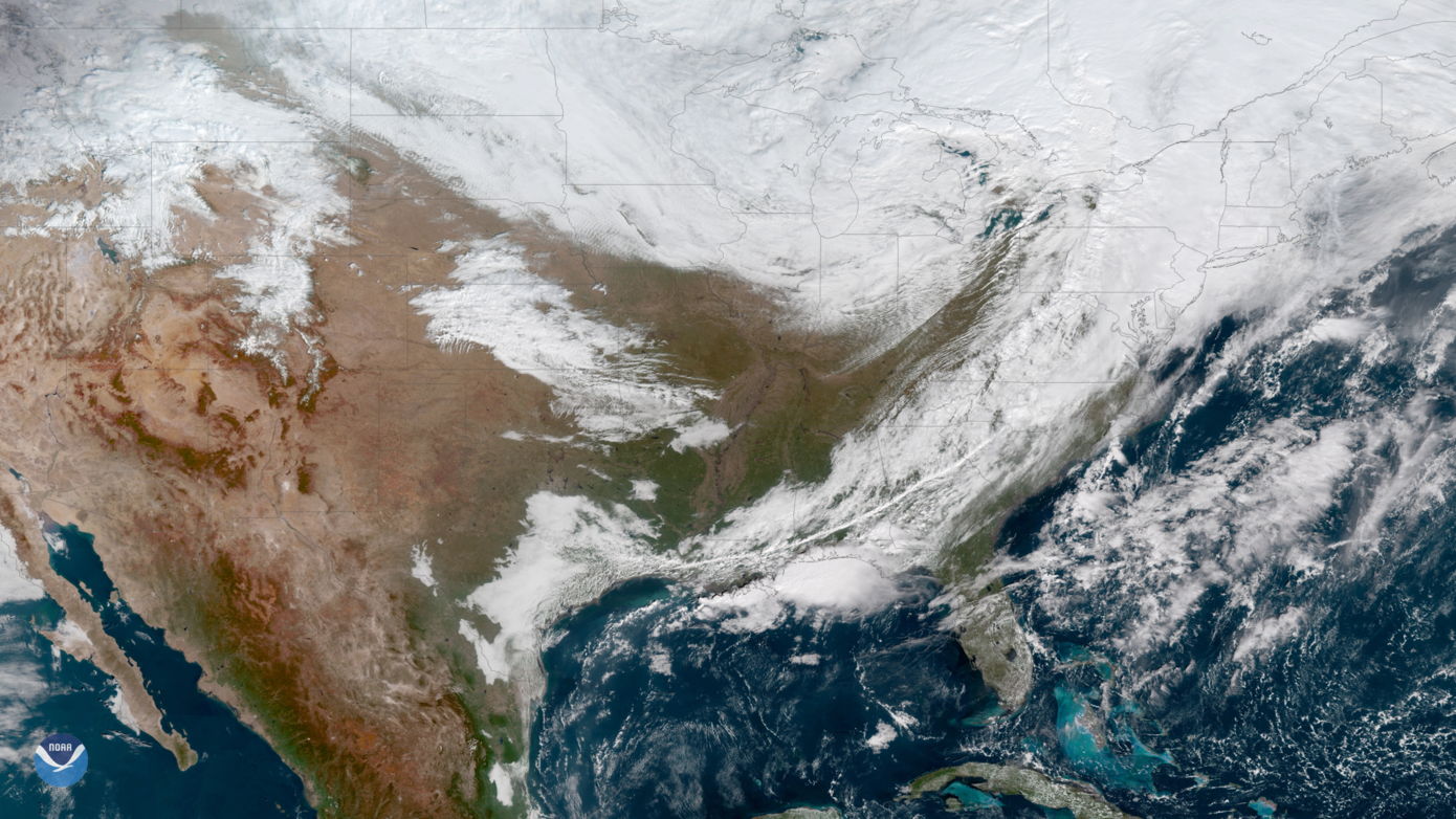
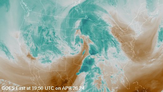
noaa more satelite imagery maps

Infrared images can be "colourised" or "colour-enhanced" to bring out details in cloud patterns. Depending on the type of enhancement, the colours are used to signify certain aspects of the data.
Water vapour imagery, which is useful for both determining locations of moisture and atmospheric circulations, is created using a wavelength sensitive to the content of water vapour in the atmosphere.
Satellite Imagery Collections
See the latest imagery of significant weather and environmental events from NOAA’s fleet of geostationary and polar-orbiting satellites.
Iconic satellite images from historic storms, floods, fires, and other events that most significantly impacted our lives.
Our most beautiful satellite imagery, from unique landscapes to colourful visualisations from across our planet Earth.
See how NOAA satellite data is used to create maps that measure the state of our planet.


